Chapter: The Voice of God
Information relevant to the 7th chapter of The Darkness Under The Trees
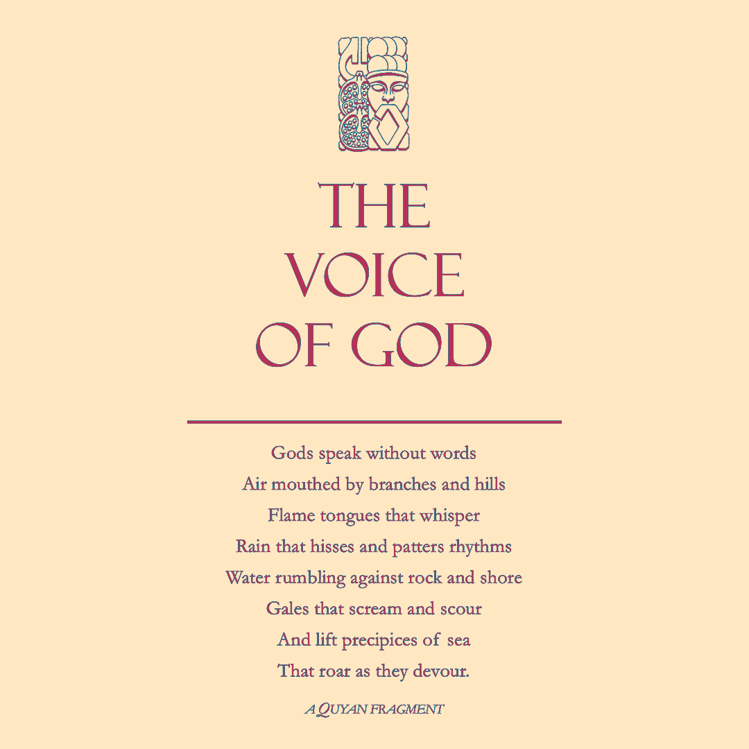
the Earthsky and the Upper Reach
This detail from the Three Lands map shows the position of the Upper Reach. Note the river flowing west from it alongs whose banks is located the Lower Reach
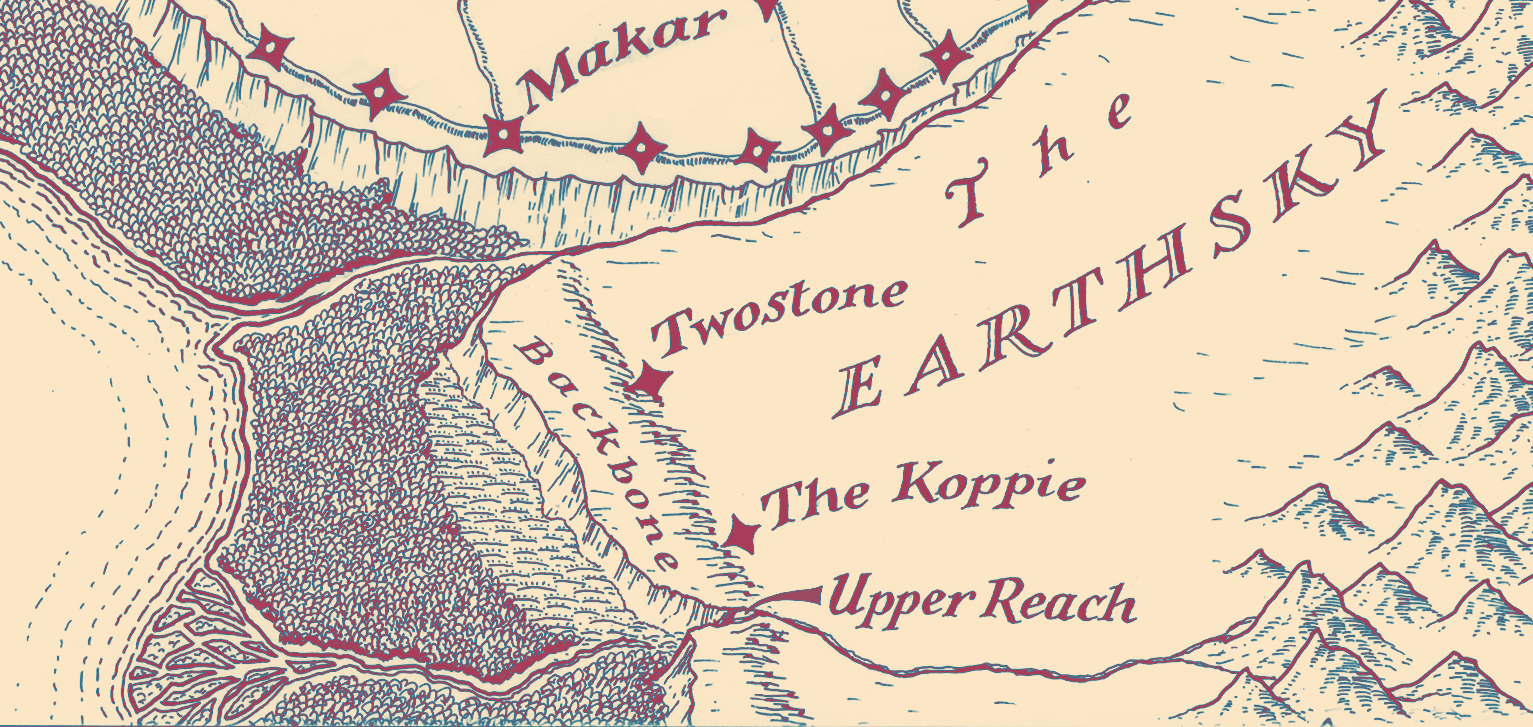
the Koppie of the Ochre
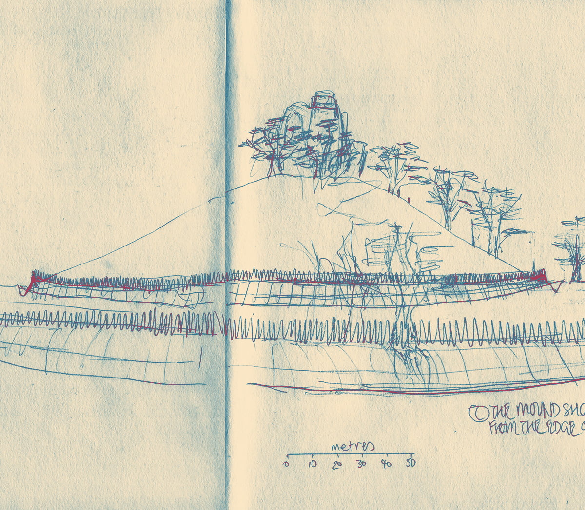
The first sketch shows, roughly, what you would see if you were standing on the edge of the Outditch. The inner ferngardens lead to the Homeditch, that is like a moat for the hill that rises to the Crag. It is upon this hill, the Grove, that the mother trees grow—cedars that are sacred to the Plainsmen. Only a few of these trees are shown—there should be enough to cover the whole hill. The other line of trees are the magnolias lining the Lagooning
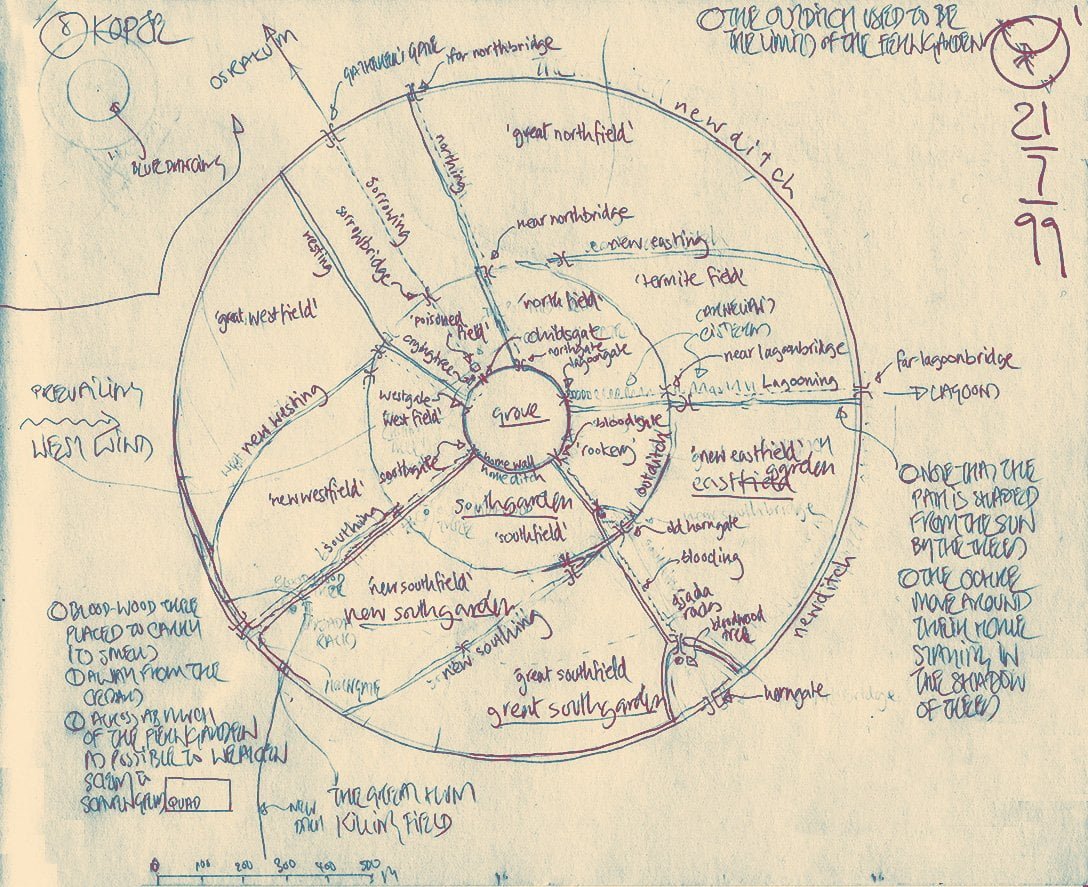
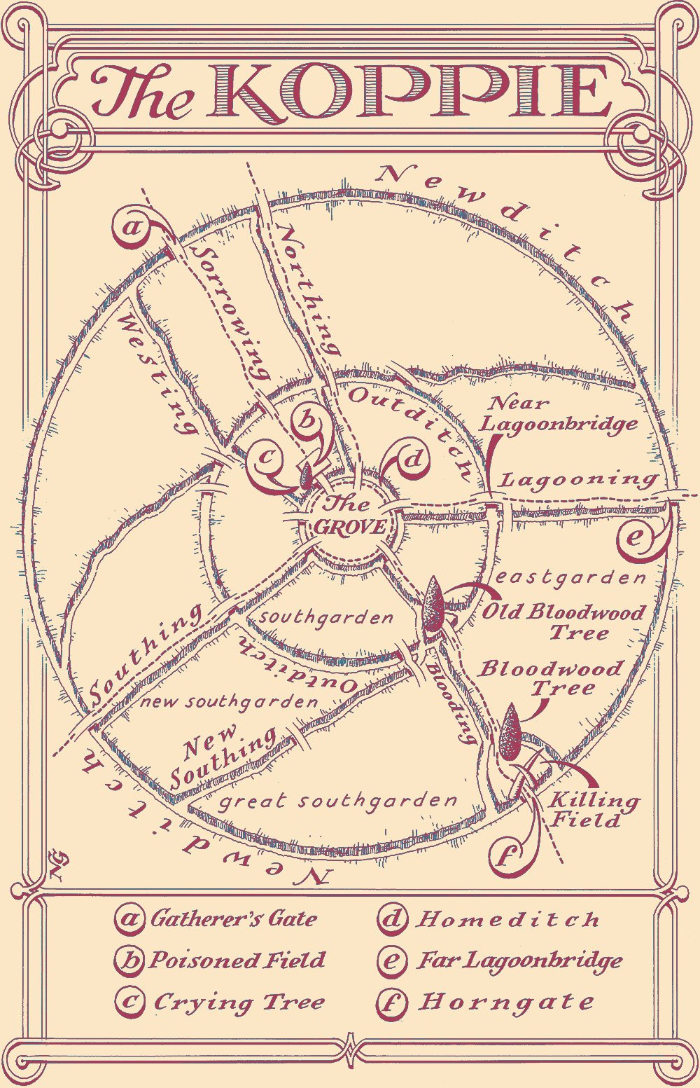
The second diagram shows the original map of the Koppie that I refined throughout the writing of The Standing Dead. Neil Gower worked from this to produce his version for publication.
In the bottom left you will see the faint remnants of the bloodwood tree and the killing field, showing their original position. This was changed once I better understood that the direction of the prevailing wind was an easterly. The location of the field in which the Ochre slaughter earthers has been chosen so that the scent of blood travels as far as it can before reaching the open fernland where it might attract the unwanted attention of raveners
the Grove
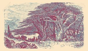
The Grove is the collection of cedars, or mother trees, covering the slopes of the hill that rises at the centre of the Koppie. All the koppies of the Plainsmen are built around such a hill, and the grove of the Ochre is typical
The first diagram is a rough sketch showing this mound, surrounded by the Homeditch (only a few of the cedars are shown). At the very summit of the hill, at the heart of the Grove, is the Crag—rocks that rise above the cedars among which is built the Ancestor House of the Ochre, and upon the summit of which they expose their dead
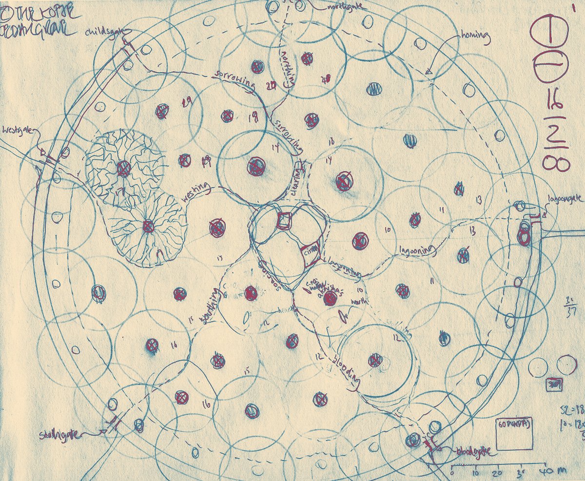
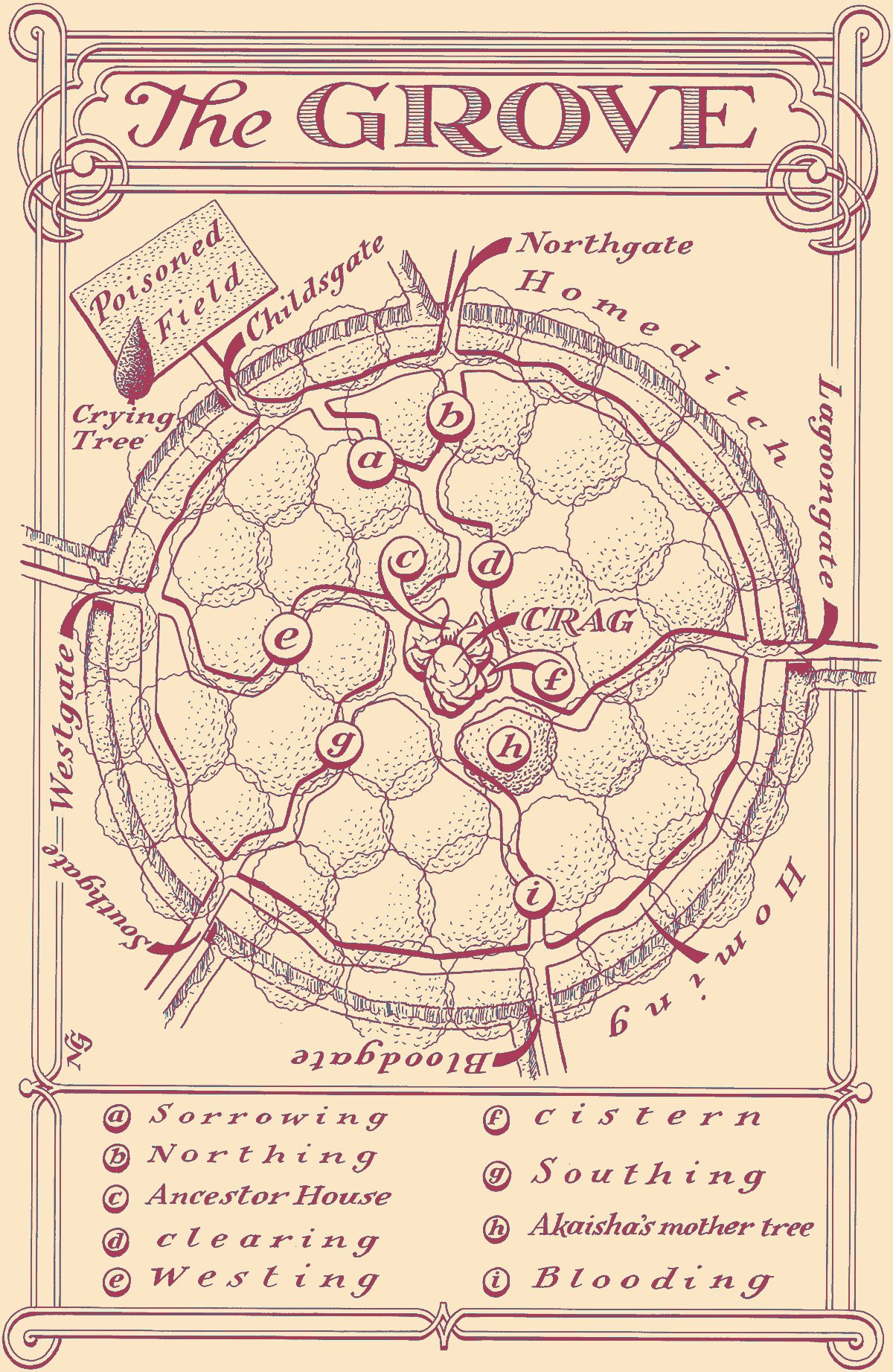
The second diagram shows the original map of the Grove that I used throughout the writing of The Standing Dead. (To read the labels, it might be easier to refer to Neil Gower’s version.) The small dark circles indicate the trunks of individual cedars. Those with crosses are trees belonging to a ‘hearth’. The larger circles give an indication of how far the branches of each tree extend and thus the extent of each hearth’s ‘rootearth’ or territory.
Note how more densely packed are the cedars around the Homeditch—this is so that their roots will reinforce the walls of the ditch. Also of note are the various ‘rootstairs’ that wind down the slopes, along the edges of the various rootearths, to the gates and earthbridges that cross the Homeditch to the ferngardens
At the centre of the Grove are located the three immense boulders that together form the Crag. The square nestling between two of them, to the north, is the Ancestor House. The other square to the east is the cistern. Touching this, to the south-east, is the rootearth of Akaisha’s hearth
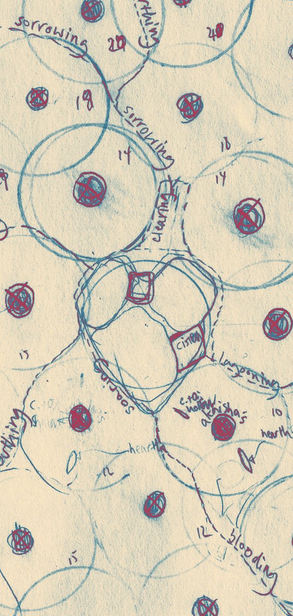
The third diagram is a detail from the Grove map. I have included this so that it is easier to see the Crag and Akaisha’s mother tree in particular. Both the actual hearth and the hollow where Carnelian and Osidian sleep are marked
Note also the clearing that the Ancestor House looks down into
the Hearth
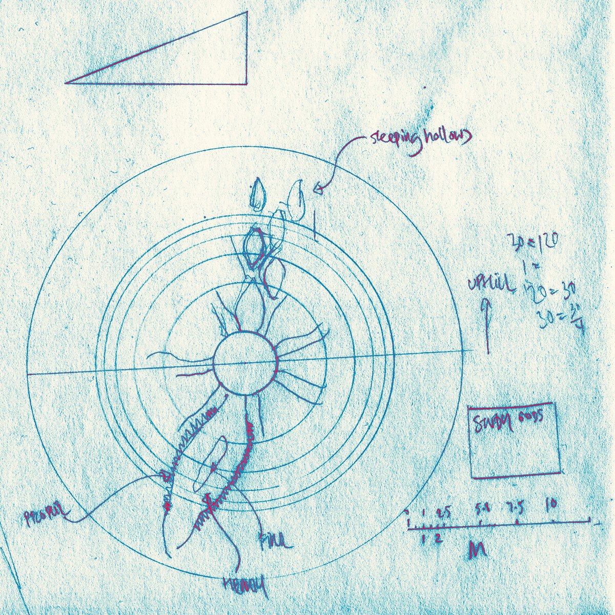
This is a rough sketch of the ‘rootearth’ of Akaisha’s mother tree; one of many in the Grove of the Ochre koppie. The circle at the centre is the trunk from which roots radiate. The outermost circle shows the extent of Akaisha’s rootearth. Uphill, between the roots, lie the hollows in which the members of her hearth sleep. Running down from the trunk is the major hollow, framed by two immense roots upon which the hearthmates sit when they take their meals together. Running down the centre of the hearth hollow is the fire to warm them and upon which they cook their food
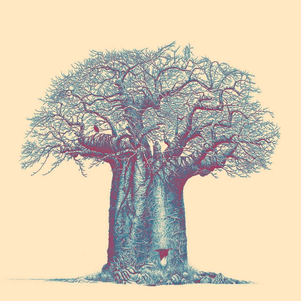
Mother Trees
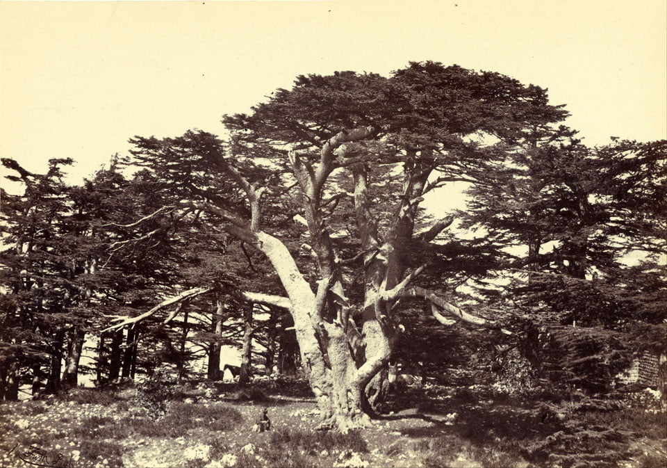
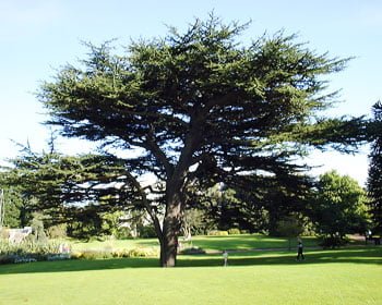
Mother Trees are a species of cedar. I took the second photograph, one summer, of a beautiful example located in the Edinburgh Royal Botanic Gardens. I spent much time lying under it, looking up through its branches at the sky. Tragically, it was damaged in a storm and had to be cut down. The specimen shown is a small one. On the slopes of Lebanon, famed since ancient time for these trees, some exist that are hundreds of years old and that reach a height of 18m (54ft), an expanse of 32m (100ft), and whose trunks are 4m (12ft) in diameter
Osidian’s new ditch
Osidian’s new ditch can be seen in the corners of the map, vastly expanding the Koppie’s land secure within a ditch
the Koppie neighbourhood
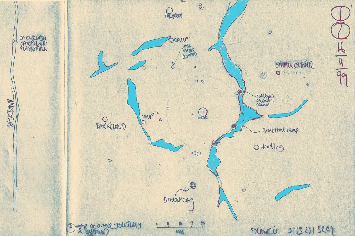
This is a map showing the area around the Koppie of the Ochre—the circle at the centre of the drawing. Note the relationship between the Koppie and the Backbone that runs up the left hand side. The irregular shapes show the positions of the various seasonal lagoons. Also shown are the positions of neighbouring koppies of other Plainsman tribes
baobabs
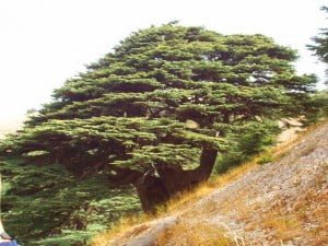
A baobab, a tree native to the Upper Reach
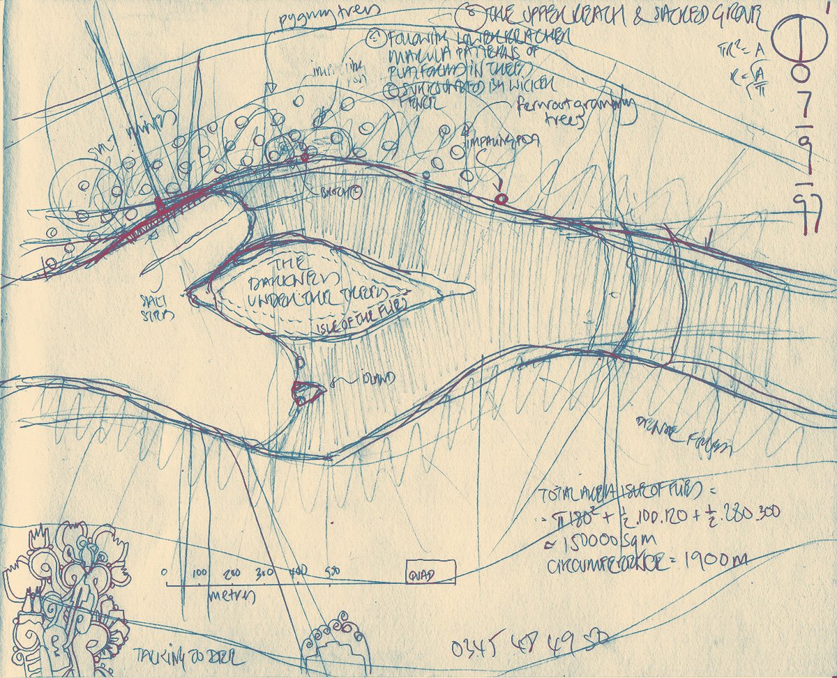
the Upper Reach
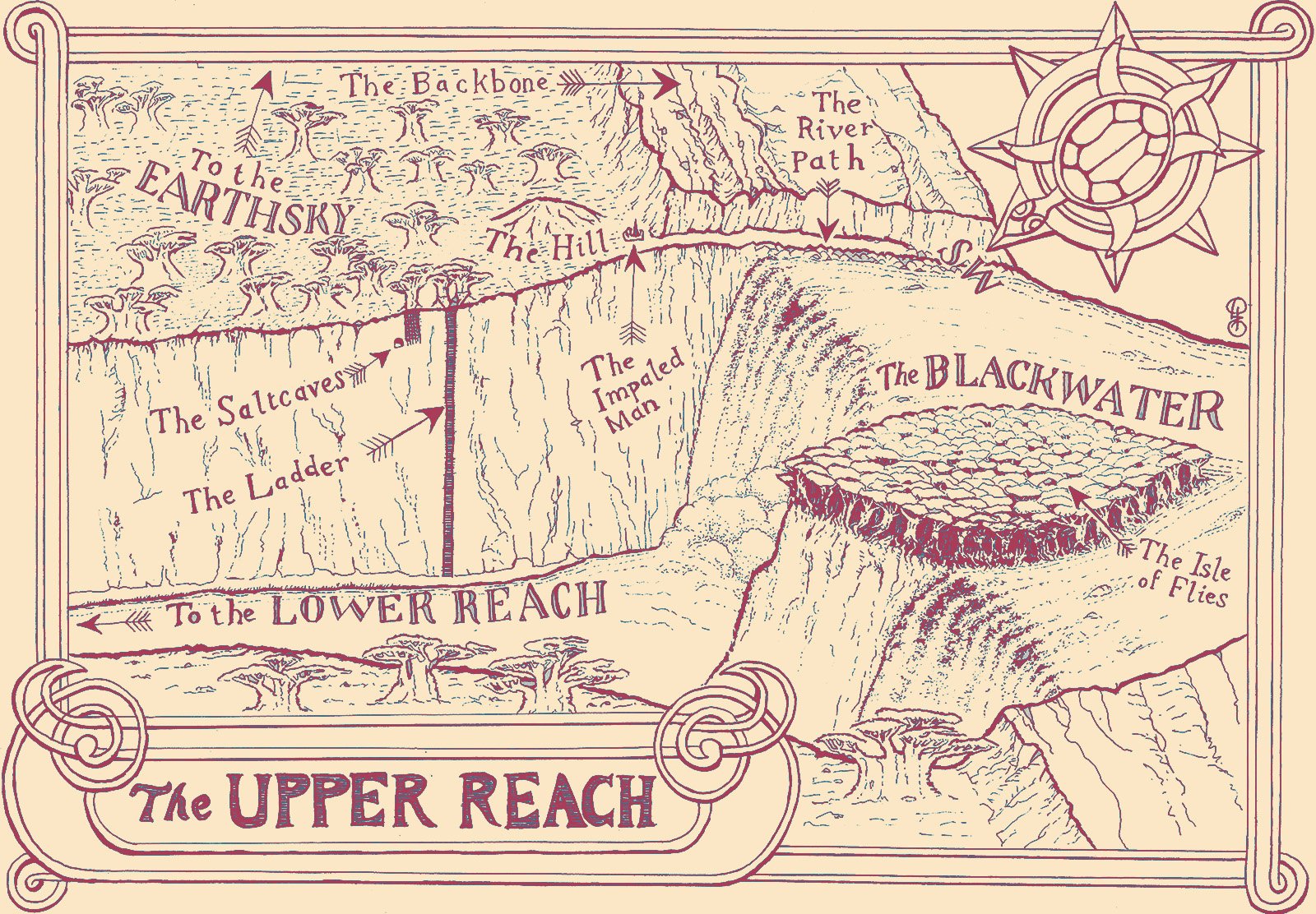
The image above is a new map that I drew for the Second Edition, in the style of Neil Gower—who did the original maps, for the First Edition
The image below is my initial conception of the Upper Reach. At that time, the baobab grove (shown as small circles) was along the north bank, opposite the Isle of Flies
I refined my scheme by making a model
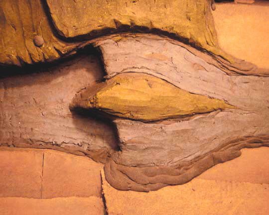
The first photograph is of the model as seen from above. This model is the only one surviving of the three I made for the Stone Dance (I made one more for The Third God). The central, eye-shaped feature is the Isle of Flies, that is covered by a single, monstrous banyan. The Isle divides the flow of the Blackwater river (coming from the right and east), to tumble in the Thunderfalls into the canyon that leads eventually to the Lower Reach (left and west). The western point of the Isle of Flies juts out over the canyon like the prow of a ship.
Looking to the top of the picture, note the cliff that borders the north bank of the Blackwater. This is the edge of the Mother’s Backbone, the basalt dyke that runs south across the Earthsky from the southern edge of the Guarded Land
Note that this has another cliff edge running up and off the top left hand edge of the picture. It can be seen that the Isle of Flies is in fact merely an extension of this basaltic structure, which the Blackwater has broken through with its two channels. Though the model does not show this, the Backbone should continue from the southern bank of the Blackwater into the deep south
A path runs along the northern shore of the Blackwater, under the cliff edge of the Backbone. This path opens out onto the baobab forest. The circular structure, towards the upper left corner of the picture, represents the knoll upon which Carnelian has the Plainsmen build their fortress. Moving south from here we reach the edge of the canyon where the Ladder drops down into its depths
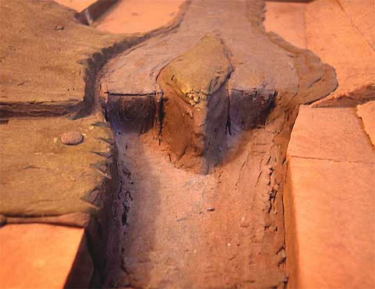
The second photograph of the model is taken from the west and gives a different view of the features already described
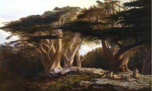
a view of the Thunderfalls—the Voice of God
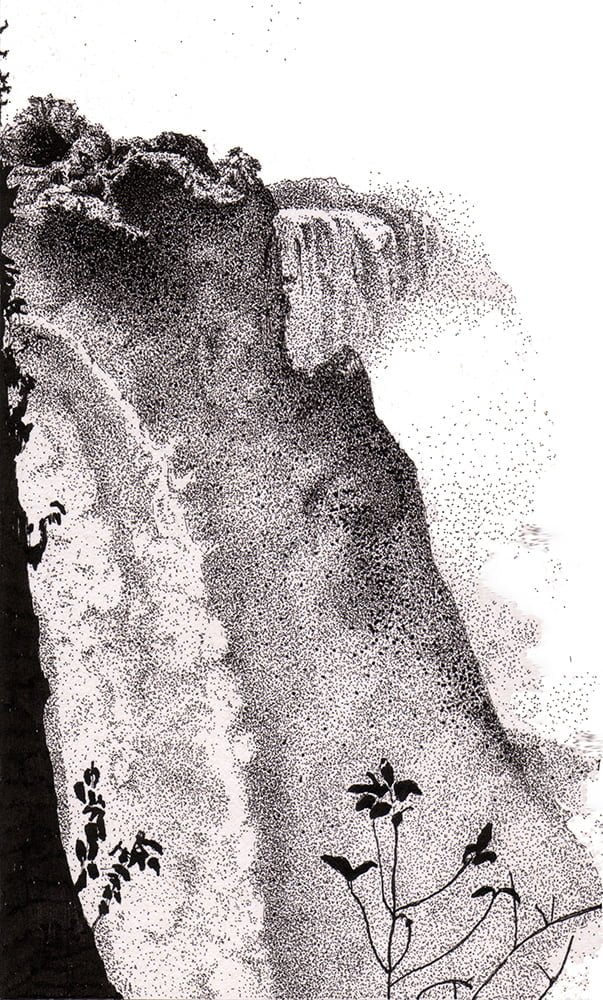
This is an picture that I drew long before I began to write the Stone Dance
the banyan of the Isle of Flies
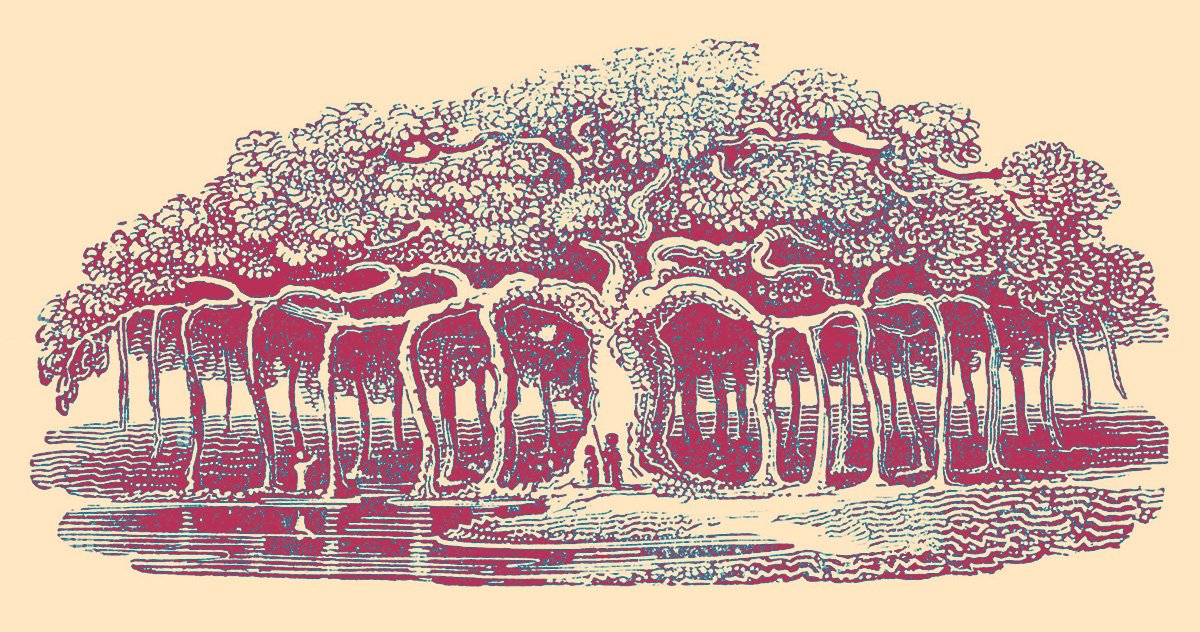
Here is a picture of a banyan, a tree with aerial roots that eventually become as thick as the main trunk. By this means, a single tree can spread to cover a vast area. There is a report—from ancient times—of a banyan covering an area large enough that it could hide an entire army
It is a single tree of this kind that covers the Isle of Flies in the Upper Reach